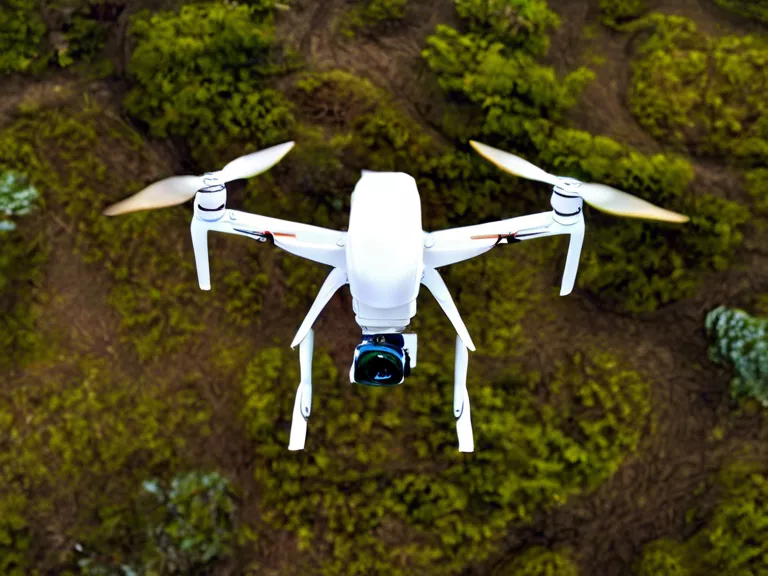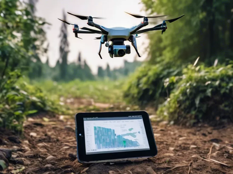
Drones are revolutionizing urban planning by providing a new perspective on data collection. From mapping land use to assessing infrastructure, drones offer a fast and cost-effective way to gather crucial information for city development projects. This article explores how drones are assisting in urban planning through aerial data collection.
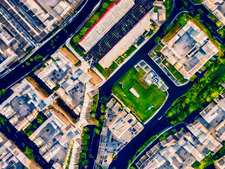
With the ability to capture high-resolution images and videos from above, drones can create detailed maps of urban areas with accuracy and speed. This data can be used to analyze traffic patterns, monitor construction progress, and identify potential areas for development. By utilizing drones, urban planners can make informed decisions based on real-time information, leading to more efficient and sustainable city planning.
One of the key advantages of using drones in urban planning is their versatility. Drones can navigate tight spaces and hard-to-reach areas that traditional surveying methods cannot access. This makes them valuable tools for mapping urban environments and assessing the condition of infrastructure such as roads, bridges, and buildings. By collecting data from the air, drones can provide a comprehensive view of the cityscape, helping planners to identify issues and plan for future growth.
In addition to data collection, drones can also be used for public engagement and outreach. By capturing aerial footage of proposed development projects, planners can create visualizations that help residents understand the potential impact on their community. This transparency can foster trust between planners and the public, leading to more collaborative decision-making processes.
As technology continues to advance, drones are becoming an essential tool for urban planners. By leveraging aerial data collection, cities can improve their efficiency, sustainability, and overall quality of life for residents. With drones leading the way, the future of urban planning looks bright.


